


To come to Camping de la Vée
Camping de la Vée - 5, Avenue du Président René Coty - Bagnoles de l’Orne - 61140 Bagnoles de l'Orne Normandie
GPScoordinates : 48.5478327 (Latitude) -0.4199588 (Longitude)
From Paris : A13 then RN 12 Dreux – Alençon Nord then direction St Malo or A11 exit Le Mans - A28 exit Alençon Nord then direction St Malo and follow Bagnoles de l’Orne
From Caen : Take the direction ofFalaise. Take the 1st exit after Falaise and before the highway, direction Putanges-Pont-Ecrepin, then followBagnoles de l’Orne. After La FertéMacé, takethe 2nd exit, direction Bagnoles Château, then direction Gendarmerie / Camping.
From Angers and from Centre Loire : Reach Laval thenMayenne, Lassay-les-Châteaux andBagnoles de l’Orne.
CALCULATE YOUR ROUTE
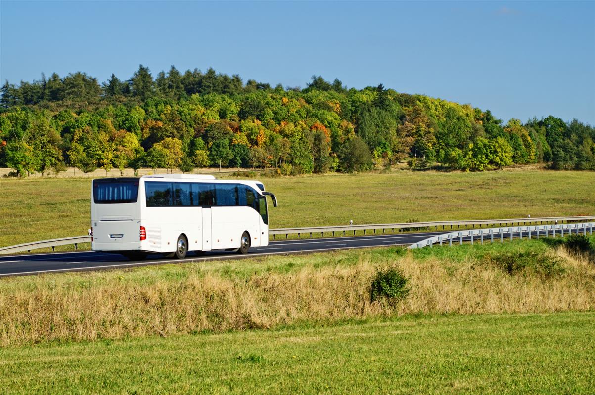
- Bus station Bagnoles Lac : 1.5 Km
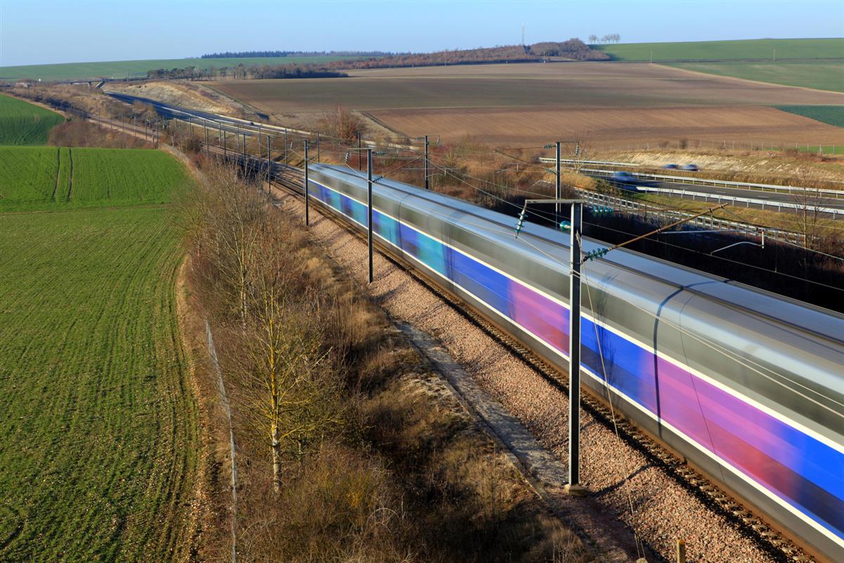
- Railway station Briouze : 20 km ; line Montparnasse – Vaugirard / Granville
- Trainline: travel with bus and / or train : https://www.thetrainline.com/fr
- Aerodrome Couterne : 6.5 Km
- Airport Caen – Carpiquet : 95 Km